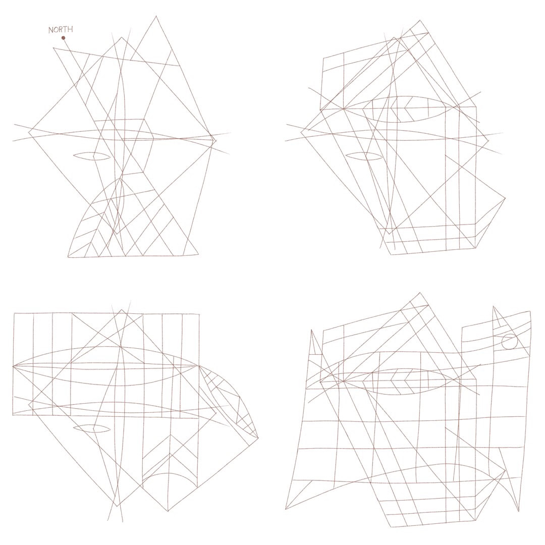
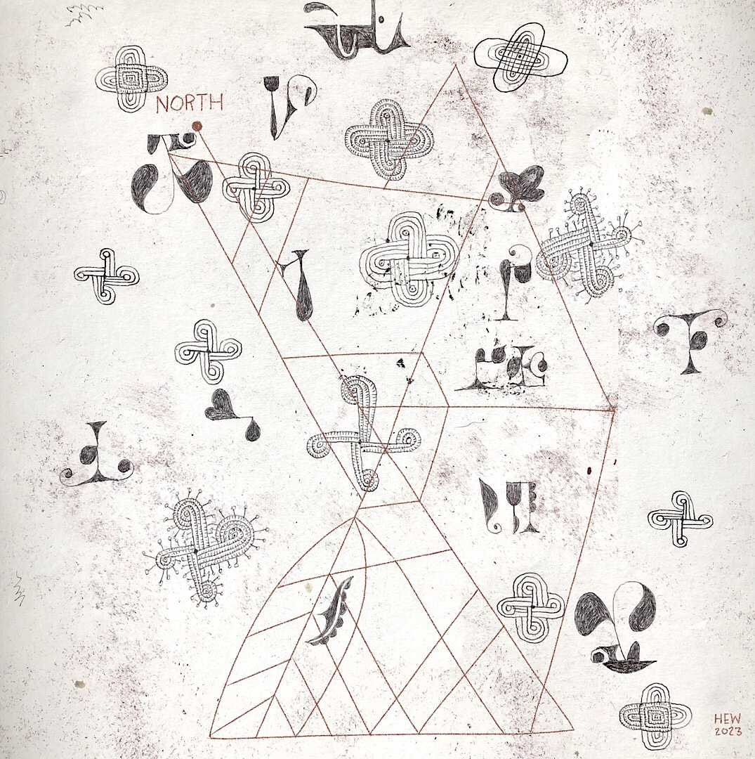
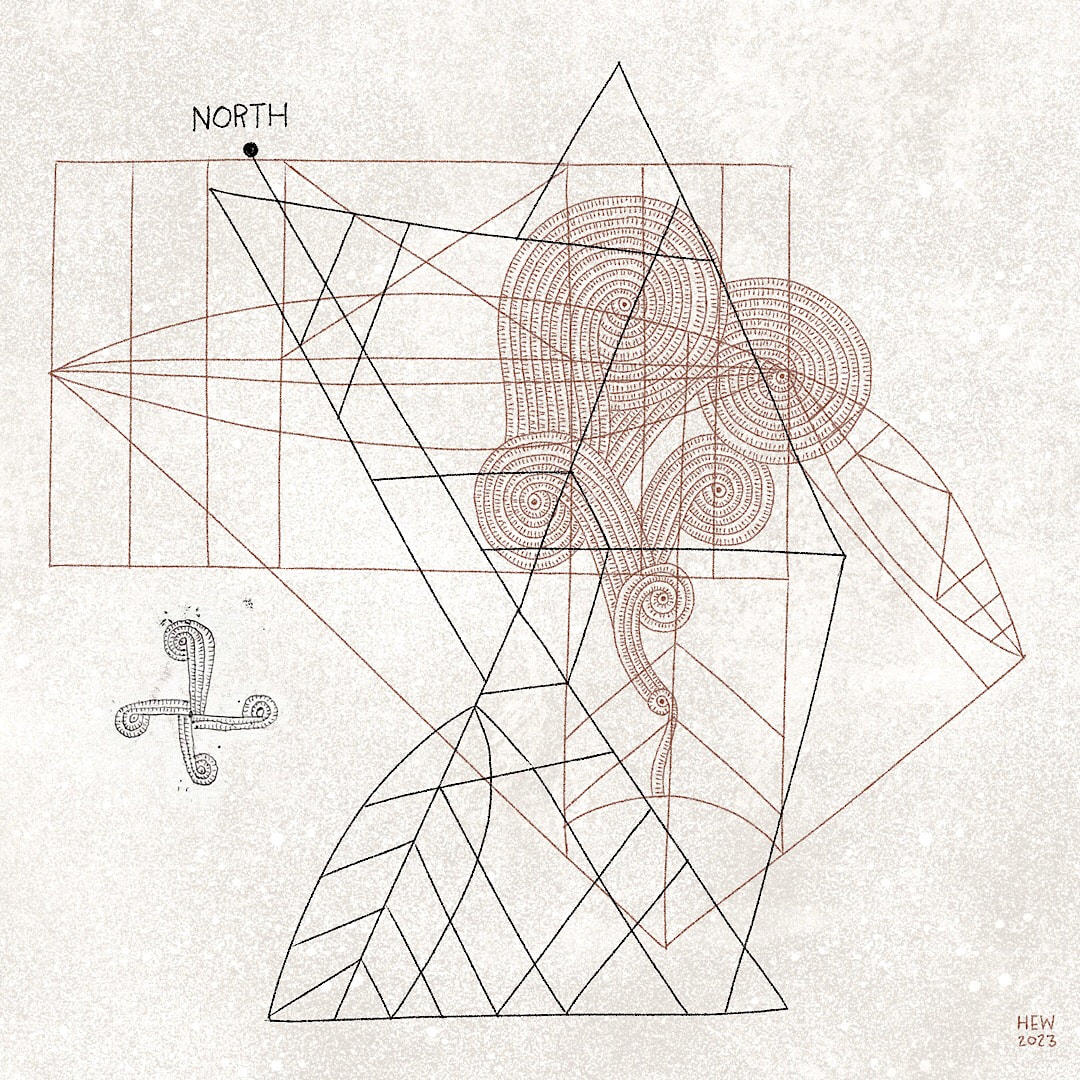
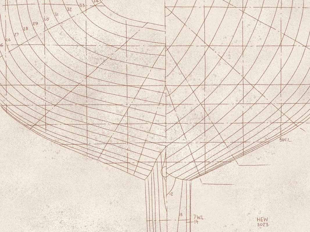
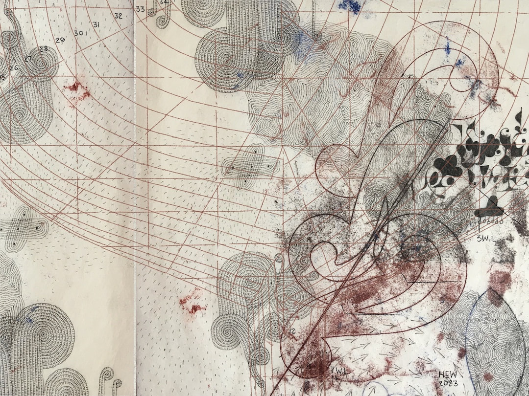
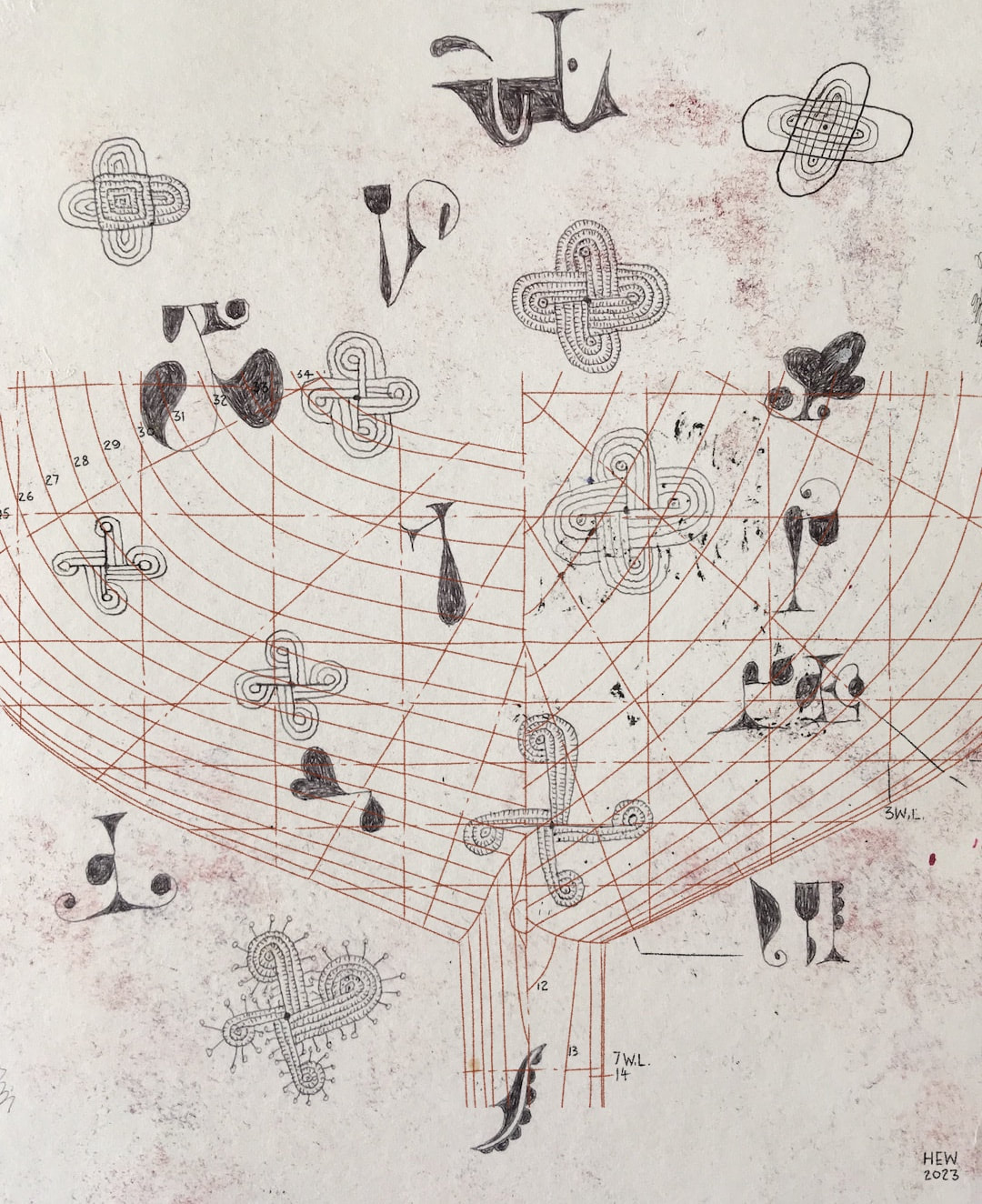
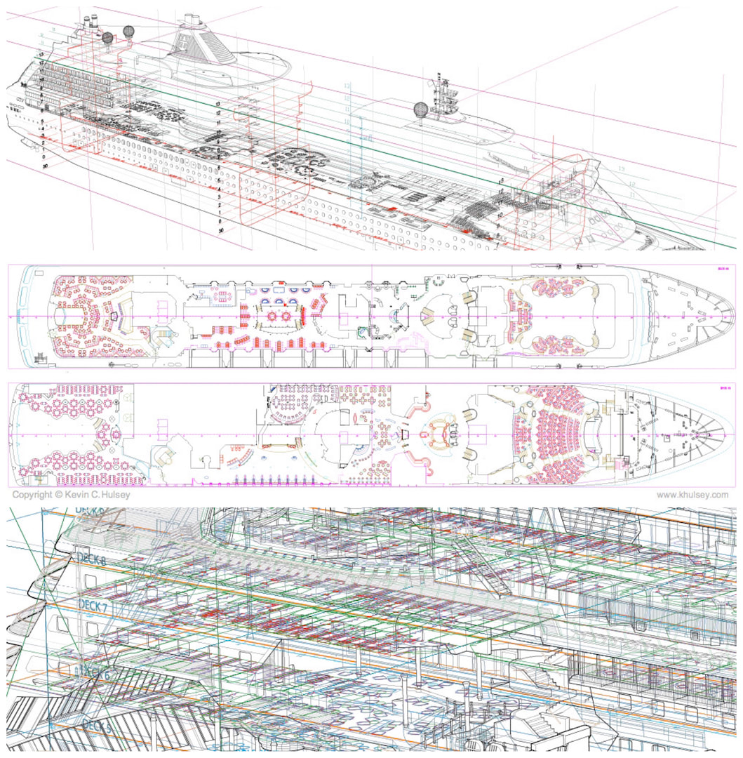
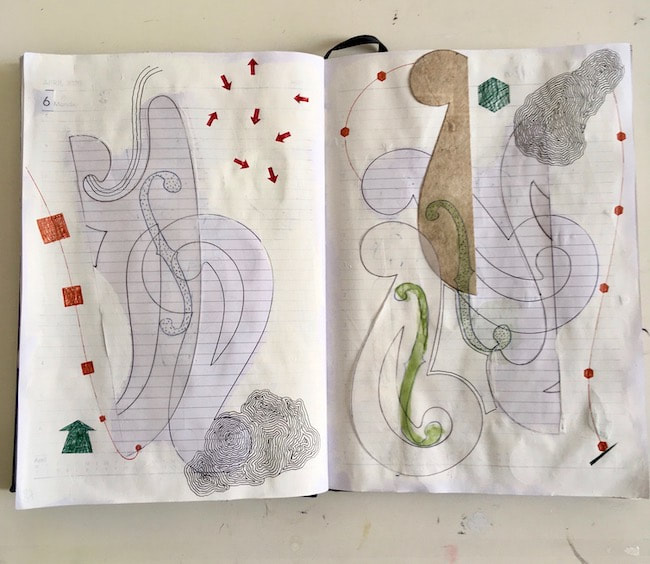
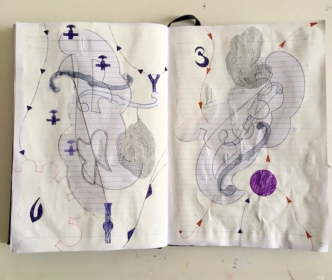
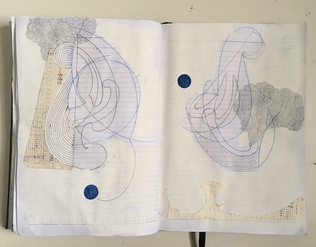
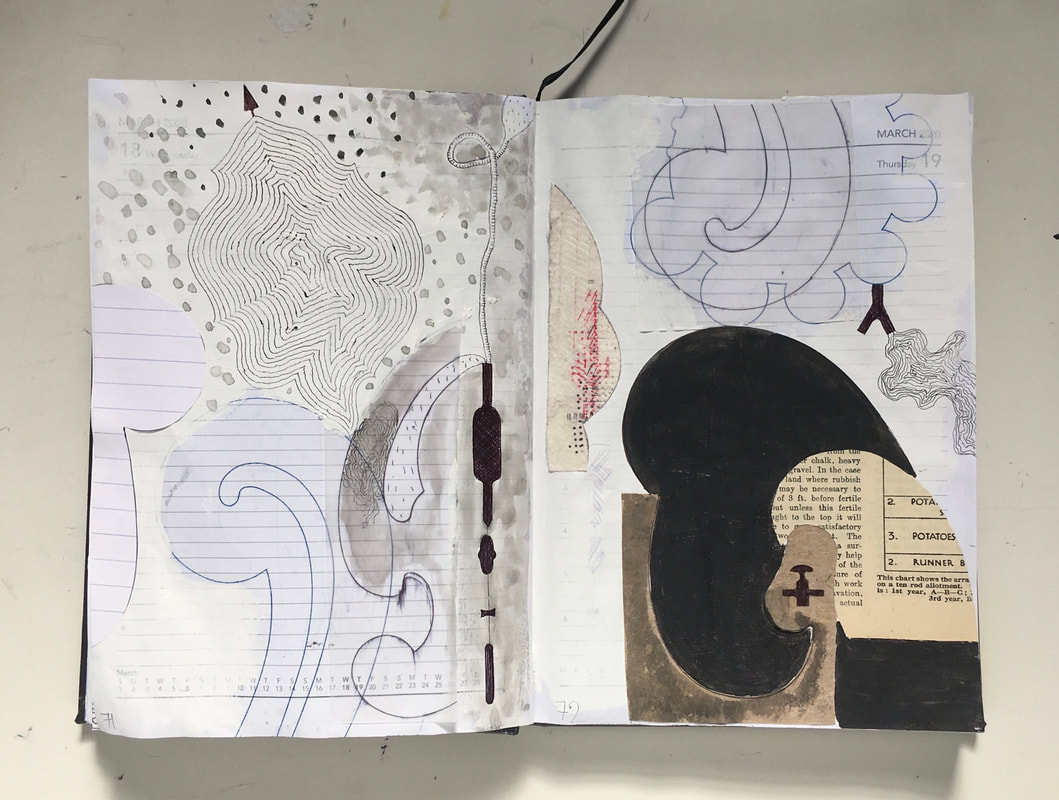
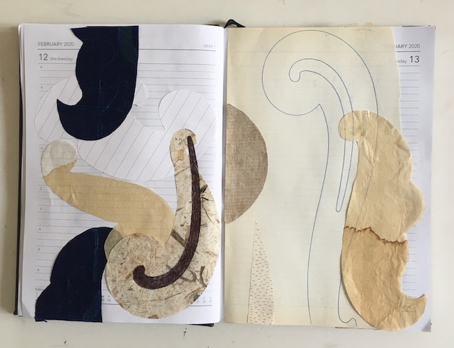
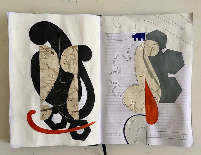
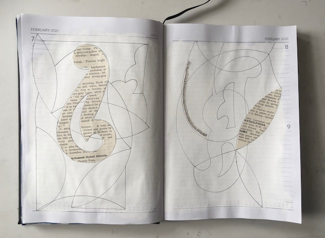
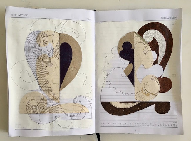
Two years ago I discovered Polynesian navigation stick charts and became absolutely fascinated with them. I made a number of quick sketches of different charts at the time on my iPad and played around with them, sometimes combining charts, and placing them against various backgrounds. They weren't resolved in any way, full of digital wobble and not really that good (see February 2021 blog entry). My interest in the subject hasn't waned since, and this week I revisited the drawings in the light of my recent nautical themes. I redrew them (neatly this time!) using the same method as last week's tracing of my Dad's yacht plans; the image above shows four different combinations of chart drawings overlaid on each other. I have actually now answered my own question from two years ago - I decided against keeping the 'digiwobbles', as I called the digital shaky line. I either ignored or hadn't yet discovered the streamline adjustment on Procreate's tools, but kind of liked the wobble at the time. Now I'm going straight, so to speak.
A much better result this time, in tune with my current aesthetic.
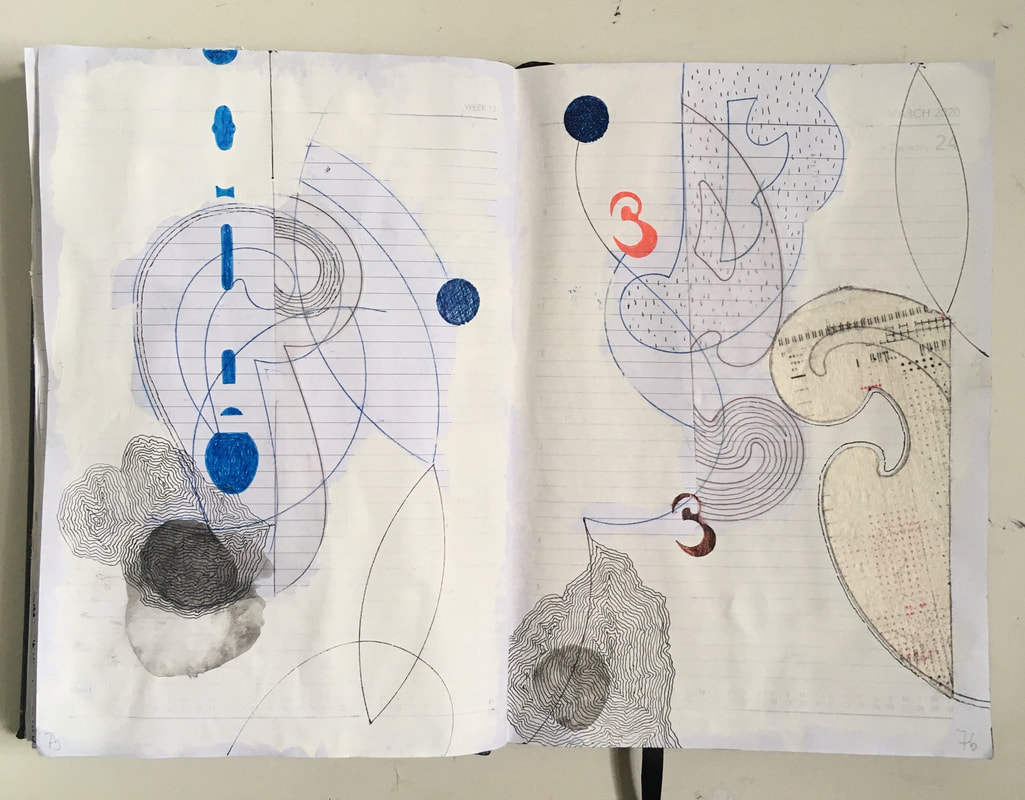
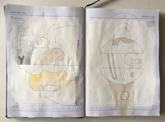
As I drew each one I tried to imagine what the lines meant. I don't understand how to read the charts at all, I simply admire their elegance and arcane relationship with sea, canoe, waves and sky. Apparently only the maker of each chart knew how to interpret it. I understand from a little reading on the subject that the curved lines seem to represent swells in the sea, and the intersections mark the position of the Marshall Islands in the Pacific Ocean. Shells were often tied to the sticks to mark the positions of islands, and gauge the distance from a canoe; prevailing winds and currents of the seas are also somehow indicated.
As I drew each one I tried to imagine what the lines meant. I don't understand how to read the charts at all, I simply admire their elegance and arcane relationship with sea, canoe, waves and sky. Apparently only the maker of each chart knew how to interpret it. I understand from a little reading on the subject that the curved lines seem to represent swells in the sea, and the intersections mark the position of the Marshall Islands in the Pacific Ocean. Shells were often tied to the sticks to mark the positions of islands, and gauge the distance from a canoe; prevailing winds and currents of the seas are also somehow indicated.
I don't think I want to know much more than that, it might spoil the poetry of the charts, and I'm not sure exactly how much information is available on the subject anyway given that only the maker of the chart could use it. I have a feeling the charts' meanings may have been closely guarded secrets.
The images here are experiments drawn on my iPad, feeling my way through the subject and exploring how I can express the charts' relationships with the wilderness of ocean through which they guided men in nothing but small canoes.
The images here are experiments drawn on my iPad, feeling my way through the subject and exploring how I can express the charts' relationships with the wilderness of ocean through which they guided men in nothing but small canoes.


 RSS Feed